Mountain Range Bermeja
Paseo de Los Pinsapos e Integral de Los Reales
The Paseo de los Pinsapos is a route that walks through the only pinsapares that exist in the world on peridotites.
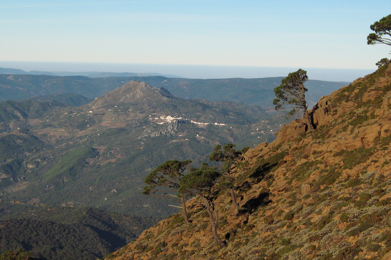
The pinsapo is one of the leading species of Sierra Bermeja. The pinsapar that crowns the summits of Sierra Bermeja is divided into three isolated pinsapares: the pinsapar of the Realillos (Genalguacil), the pinsapar of the Woman (Casares) and the pinsapar of the Royals (Estepona).
It is a place with a biodiversity with endemic species, both plants and animals.
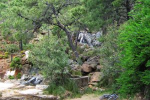
The 750 meters of path through which the Paseo de los Pinsapos runs has a somewhat irregular layout, with constant ascents, descents, steps and stones. After crossing a short bridge that passes over the Garganta del Algarrobo, the walk ends in a square where a poetry by Federico García Lorca adorns a mural.
Details of the route
Mode: On foot
Distance: 1.5kms in linear / 6.5km in circular
Start of the route: Paseo de los Pinsapos
Ruta SL-A 168 Sendero Pico de Los Reales
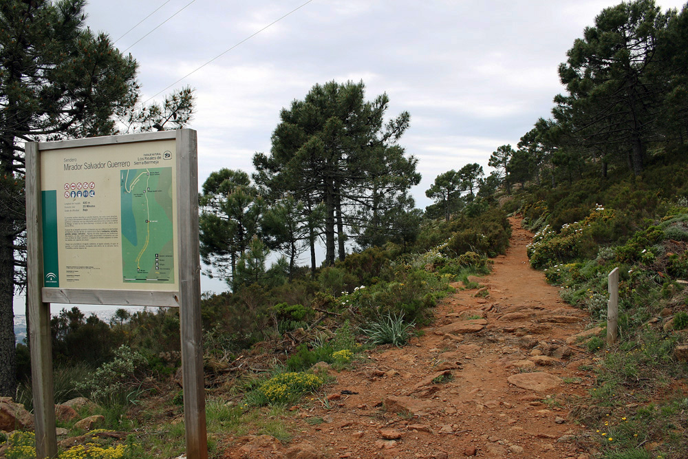
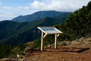
It is a linear path that ascends to the peak of Los Reales, the highest peak of Sierra Bermeja, with 1452 meters above sea level. From the top we can enjoy spectacular views towards the coast, the African coast or the Serrania de Ronda. The whole route runs through the pinsapar of Estepona.
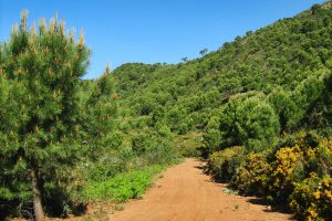
In this itinerary the typical vegetation of Sierra Bermeja abounds: pines resineros, coscojas, gorse, herbaceous and the pinsapo as we go climbing in height. In addition to diverse endemic species of patrimonial importance.
During the journey we will find irregularities in the ground. It is advisable to follow the directions given to us on the path itself, and be attentive to the terrain. Also we will find during the route, several stretches that we will have to cross, through which one leaves or enters the limits of the Natural Area of Los Reales.
Details of the route
Mode: On foot
Distance: 3.1kms (round trip)
Start of the route: Mirador de Salvador Guerrero
Ruta SL-A 169 Sendero Fuente del Porrejón
Linear route of very low difficulty. During this route we will visit the Fuente del Porrejón, crossing the path through dense forests of pine resin that have had an important place in the economy of Estepona, especially during the twentieth century, with the exploitation of these forests to obtain resins.
The source of the Porrejón is quoted in the diaries of the naturalist Simón de Rojas Clemente Rubio who, in October 1809, visits Sierra Bermeja as part of a trip through the Kingdom of Granada (the current provinces of Malaga, Granada and Almeria) to elaborate its natural history, staying one of the nights next to the Fuente del Porrejón.
Details of the route
Mode: On foot
Distance: 4.9 Kms (Round trip)
Start of the route: Km 12.8 road MA-8301
Ruta R2 Casa de los Guardas
It is a route of low difficulty, perfect to be done on foot, by bicycle or on horseback.
In this itinerary we find a constant slope not very pronounced and with a fairly homogeneous soil. In the first section we cross a beautiful cork oak, where the Cortijo de Nicola is located after traveling the first slopes.
Passing this point, the cork oak disappears to give way to a pine forest of pine trees: the Pinar de Nicola. Then the ascent but this time the terrain becomes more irregular and stony.
After exceeding 3.6 kilometers the itinerary we arrive at the House of the Guardians. A construction served as a point of control for the forest guards of the public forest of Estepona.
The return to the starting point is by the same itinerary.
Details of the route
Mode: On foot / By bike / On horseback
Distance: 7.3 Kms
Start of the route: Paraje de Nicola
Ruta Permalink R3 Camino de la Artesa
This linear route runs through the highest areas of the “Artesa-Altabacales” circuit through dense stands of pine trees. During the journey we can see the basins of the Velerín, Castor and Padrón rivers.
This route can be done in ascent or descent, and can be traveled on foot, by bicycle or on horseback.
On foot or by bicycle and on the rise, the degree of difficulty is high because it is an ascent by forest track of almost 20 kilometers in length in which the 860 meters of accumulated positive height gain will be surpassed. It is a journey that requires some physical resistance.
On descent and by bicycle, the degree of difficulty is medium, although the differences are not very marked, the terrain is very irregular. On foot or on horseback the descent has an equally irregular section that requires extreme caution.
Route details
Mode: On foot / By bike / On horseback
Distance: 19.7 Kms
Start descent: Peñas Blancas, km 12.8
Home ascent: Nicola’s Place
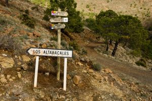
Ruta R4 Camino de los Altabacales
It is a linear route designed for experienced athletes and it is also a route of the most popular Sierra Bermeja, it is the path of the Altabacales, is a path that was opened in the early twentieth century for the exploitation of pine trees for its resin .
The route is designed to be done on the ascent or descent, on foot, by bicycle or on horseback.
The difficulty on foot or in bicycle and in ascent has a high degree of difficulty, since in the route we find a stretch of 20 km that exceeds 750 meters of positive height difference. If you want to make the road on horseback, it requires effort on the part of the animal to overcome this distance.
For the descent by bicycle we find an accessible route for a greater number of cyclists because in the 20.7km of descent there are small slopes.
Details of the route
Mode: On foot / By bike / On horseback
Distance: 21.7 Kms
Start descent: Cyclist viewpoint, km 8.8
Start ascent: Paraje Nicola
Ruta R6 Puerto de la Artesa
It is a round trip route of low difficulty. Due to its low height, it can be done on foot, by bicycle or on horseback. It ends at the port of Artesa.
The itinerary starts on the same route of the SL-A 169 trail until reaching the Fuente del Porrejón.
It is an ideal itinerary for the ride. The route has no difficulty to follow, and the terrain is flat with slight slopes. Although on foot it is a route of medium difficulty due to its long distance (almost 14km).
The route gets its name from the Puerto de la Artesa, which we find at the end of the route.
Details of the route
Mode: On foot / By bike / On horseback
Distance: 13.8 Kms
Start: Peñas Blancas, km 12.8
Ruta R7 El Alcornocalillo – Altabacales
We speak a linear route in descent of a medium difficulty for both cyclists and riders, and high difficulty for hikers. On this route you will cross a cork oak forest and then descend through the popular Altabacales road, reaching the Paraje de Nicola.
If you make the route by bicycle or horse its difficulty is medium, despite being a descent its total length is 21 km with irregular floor, it is advisable to be familiar with the distance and that the riders work with their horses regularly. If you make the way on foot your difficulty lies in the distance instead of the ground, considering it high.
Route details
Mode: walk bike and horse
Distance: 21.6 Kms
Start: Peñas Blancas, Km 12.8

